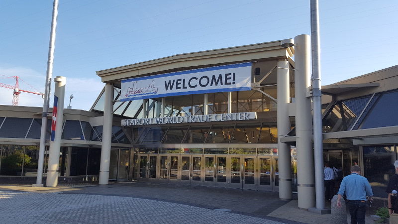

Between August 14 and 19, the most important global conference on GIS with free and OpenSource Software was held in Boston, Massachusetts, USA: the FOSS4G 2017 which had taken place in Bonn only last year.
This year’s main conference was attended by high-caliber guests. Its dense program, with frequently more than 11 parallel tracks full of interesting topics, surely was one of the main reasons why this year’s conference was the biggest FOSS4G to date, with more than 1100 participants. Last year’s FOSS4G in Bonn (conference-chair Till Adams from terrestris) was already attended by circa 980 participants. We think that this continous increase is also an indicator of the growing relevance of free software created for the processing, analysis and presentation of geoinformation.
More numbers related to this FOSS4G of superlatives? Prior to the conference and over a course of 2 days, more than 1300 participants were schooled in 56 workshops, with a duration of 4 hours each!
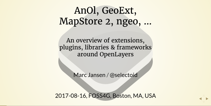
Is there a way to summarize such a program? In the following sentences, we will try this by means of personal impressions – of course without having been able to visit all the sessions. Apart from the consistently excellent keynotes by Paul Ramsey, Holly St. Clair, Joe Cheng, Richard Stallman and Maria Arias de Reyna, we found the following topics to be of great significance: serverless , R (having so many presentations with a specific focus at one conference was a novelty for us), quite a lot of QGIS and almost no gvSIG, quite a lot of GeoServer and only a little UMN Mapserver, 3D (a little bit of Cesium). Participating for terrestris was Marc Jansen, who talked about the topic “AnOl, GeoExt, MapStore 2, ngeo, … – An overview of extensions, plugins, libraries & frameworks around OpenLayers”.
We are already looking forward to accessing the presentations we missed online. Just like in previous years, the talks were filmed, in order to be published on the Internet after post-production. We will certainly make you aware of this in the future.
A Visual Summary of FOSS4G 2017#foss4g #sketchnotes https://t.co/jsozoJw9Qi pic.twitter.com/nlXuKHDY26
— Experimental Craft (@artsciencelove) 21. August 2017
Andrea Aime (primarily known as one of the developers of the GeoServer) received the Sol Katz award, which is awarded to people with exceptional leadership skills in the free and Open Source community. A perfect decision! We congratulate Andrea, who works for our partner company GeoSolutions.
Yawwwn… waking after a loooong trip back home and a good night sleep. Was it just a dream? Nope! So proud! :-) #osgeo #foss4g pic.twitter.com/KR5PNQyVmX
— Andrea Aime (@geowolf) 20. August 2017
A few addiotional impressions can be found on the FOSS4G’s flickr page and on the google image page.

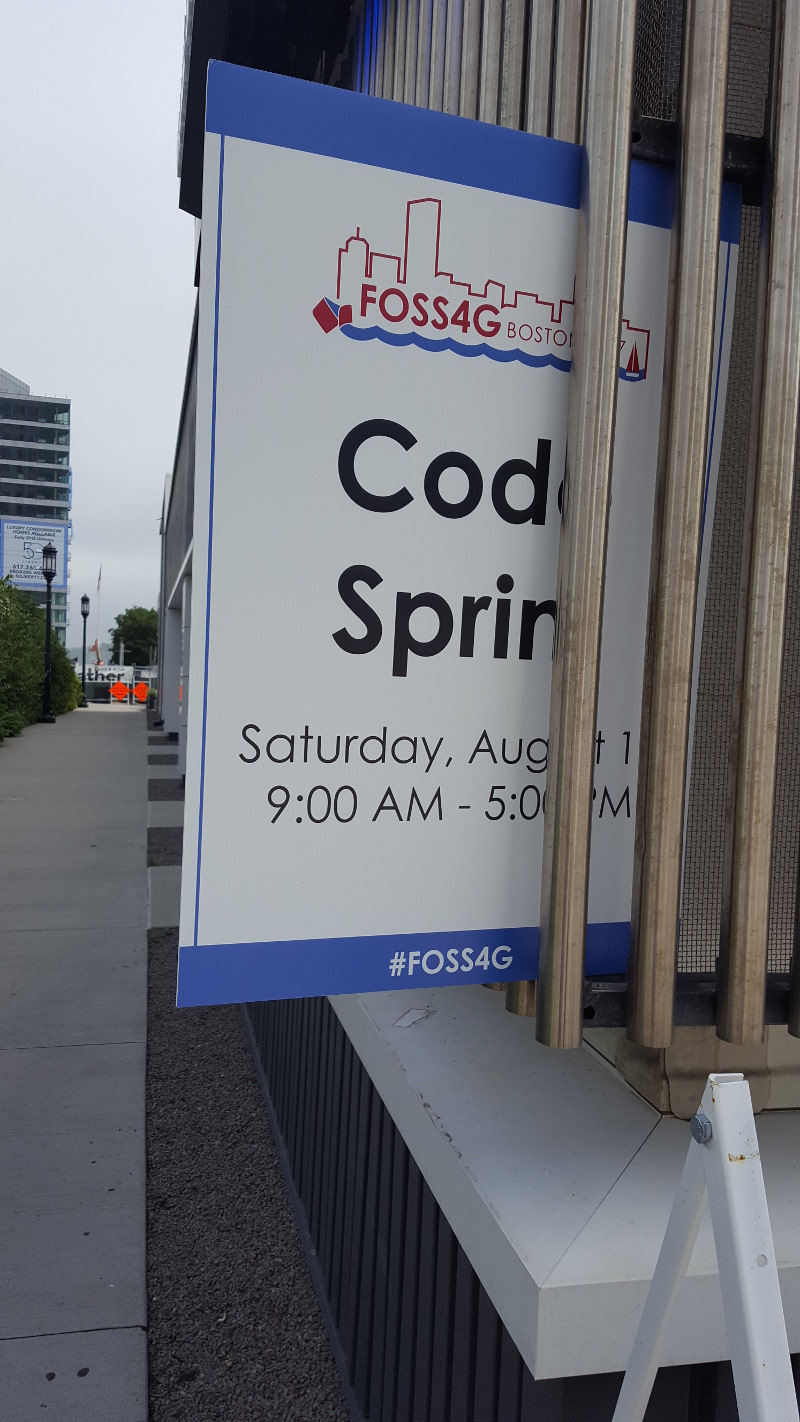
On the following Saturday, in the conference’s aftermath, there was a one-day codesprint that a few projects were involved in. Marc Jansen helped with the redesgin of the OSGeo homepage and supported the OpenLayers teams (which was very small this time, with only two developers).
Great impressions from #FOSS4G code sprint! @OSGeo #contributors code sprinting at the new web site at @FOSS4G. #OSGeo pic.twitter.com/4AvsxyfPiE
— OSGeo (@OSGeo) 19. August 2017
Summarized in one sentence: The FOSS4G was once again the best international FOSS Geoconference that one could attend this year, and w thank the organizers, sponsors, workshopleaders, speakers and participants for their contribution to its success!
The next FOSS4G 2018 will take place from August 28 to September 03, 2018, in Dar es Salaam, Tanzania. We are already looking forward to our active participation.

