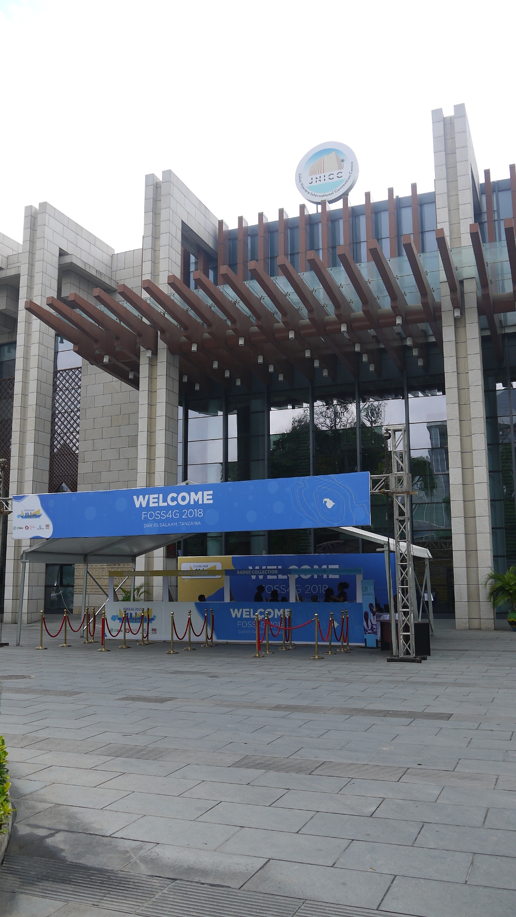
“Leave no one behind” was the motto of this year’s FOSS4G conference, which took place from August 27, 2018 to September 02, 2018 in Dar es Salaam in Tanzania, only the second time it has been held on the African continent. In keeping with the conference motto, the OSGeo-initiated Travel Grant Program enabled 130 of the 1,000 conference participants to attend with free tickets and financial support for travel. This made this African FOSS4G a true FOSS4G, as the majority of participants actually came from Tanzania and the surrounding countries.
The palpable sense of optimism towards open source was also reflected in the program. Many presentations demonstrated how open data can be used with open source software under the given conditions, such as unreliable internet connections or inaccurate data. Many case studies were also presented in which local geoinformation systems were built with open source, for example for the creation of a cadastre. “We as politicians need geospatial information for our decisions,” said the Tanzanian Minister for the Environment, January Makamba, in his opening speech. With his presentation “Approaches to WebGIS in times of unstable or weak internet connections,” Till Adams addressed a problem that is not purely African. Best practice tips regarding performance and optimization of web-based geoinformation systems were summarized. A second part presented modern methods that address the topics in the spectrum of the keyword “Offline.”
Many of the problems of African countries, such as the degradation of forest and bushland, uncontrolled urban growth or the cultivation in large monocultures, are well known and could be observed first-hand by our managing director Till Adams during his several-week trip across southern Africa. In addition to pure monitoring of such changes, geoinformation systems help to make such information accessible to these decision-makers in a well-prepared manner. By using open source, local know-how can be built up at the same time, which is not lost the moment the right to use a software expires with the license. The knowledge and even the applications are retained locally and can therefore be used even when projects come to an end.
In addition to the focus on well-known problems of developing countries, a focus was also placed on the social problems of the continent. These often involved inadequate health care, unequally distributed educational opportunities, or child labor and gender equality. The Open Source Geo-Community has been demonstrating for many years that knowledge is a shareable asset from which many more people can benefit. The prerequisite is that access to information and this knowledge is made as easy as possible. And we can only confirm after this conference that this can be projected very well onto Africa.
Another highlight was the presentation of the Sol Katz Award. This year the award went to Astrid Emde. The Sol Katz Award for Geospatial Free and Open Source Software is awarded annually by the OSGeo to individuals who have taken on a leadership role in the OSGeo community. Through their activities, the award winners have made a significant contribution to promoting open source ideals in the geographic field. The prize recognizes both the work of the community members and the appreciation of one of the founders for the years to come.
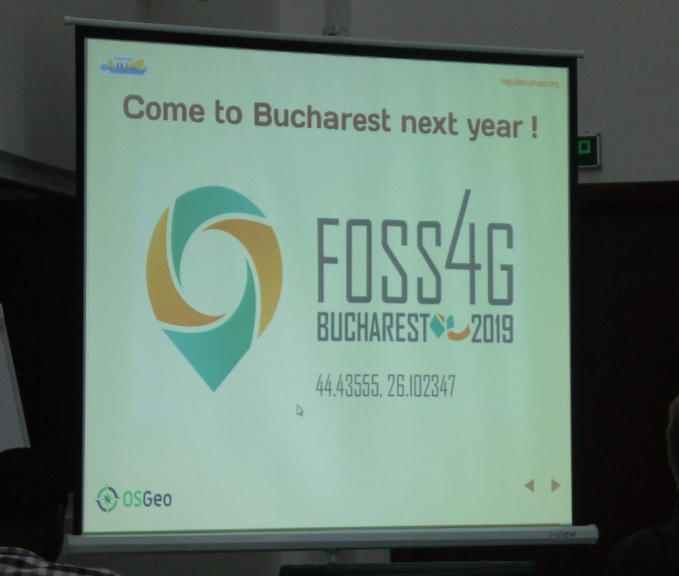
At the end of the conference, the baton was traditionally handed over to the organizers of the upcoming FOSS4G 2019. We are pleased that FOSS4G 2019 in Bucharest will now be much easier for us to reach. Since September 15, 2018, you can register here for the FOSS4G.