A new style for the WMS “OSM Overlay” is now available via https://ows.terrestris.de.
The WMS is particularly suitable for simultaneous display with various background data such as aerial photographs, satellite data or similar and is essentially composed of the extensive data of the OpenStreetMap project.
The following images will give you an impression of what has changed compared to the previous style.
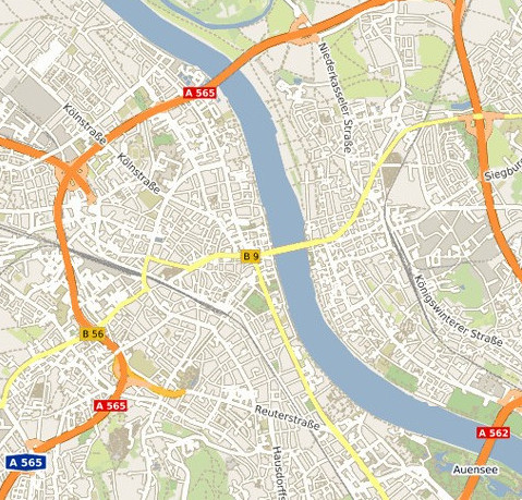
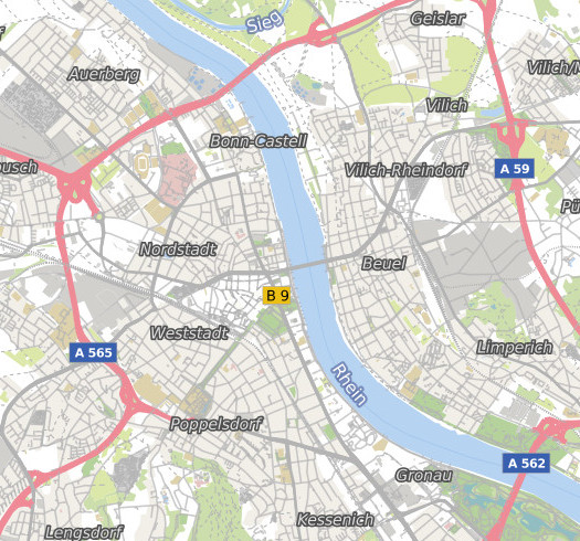
Essentially, the legibility of the labels has been improved, and districts are now also labeled.
The road network has been simplified and is now displayed more discreetly.
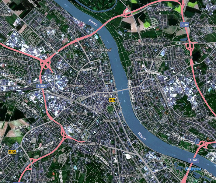
Get your own before (left side) / after (right side) impression, here using the example with land use areas in the background:
Like our tried and tested OSM-WMS service, this service is cached and can be used free of charge.
All WMS-compatible programs or libraries can integrate the layer via the URL
http://ows.terrestris.de/osm/service?
using the name “OSM-Overlay-WMS”.
The use of the Google Mercator projection EPSG:3857 is recommended for optimal display.
If you have any questions or requests regarding our services, please do not hesitate to contact us.