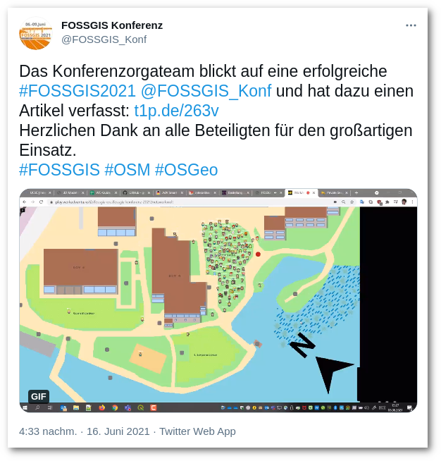
From June 6th to 9th, 2021, the annual FOSSGIS Conference took place – theoretically in Rapperswil, Switzerland. Unfortunately, due to the pandemic, it was not possible to be on site in Switzerland, so the conference was held online. To anticipate: It worked excellently and was a very good experience. Over 600 participants enjoyed three parallel lecture blocks, a demo session block, and two workshop blocks. The company terrestris actively participated with various lightning talks, lectures, workshops, and as an exhibitor. The usual professional exchange took place this year in the “networking world.” In this virtual world, they were able to meet the exhibitors and exchange ideas via video chat at the booth, at the counter, or other locations.
A big compliment goes to the organization and technical execution of the conference this year!
To make the wait not so long, you can find all the lectures that were held at the FOSSGIS Conference 2021 as a video recording here. (Thanks to the CCC)
You can watch the following lightning talks and presentations from terrestris (partly together with our partners):
- “The Cloud Has Eaten Open Source” – Arnulf Christl (5min)
- “Mass Conversion of Cartographic Style Documents with GeoStyler-CLI” – Jan Suleiman, Daniel Koch & Christian Mayer (meggsimum) (5min)
- “OpenLayers Feature Frenzy – Great Things OpenLayers Can Do That Too Few Know About“, Marc Jansen & Andreas Hocevar (ahocevar geospatial) (25min), Slides as PDF
- “Agile Development, Open Source, and Official Data” – Arnulf Christl (25min)
- “3D Geo Applications with CesiumJS – Data, Applications, and Specifications” – Michael Holthausen (25min), Slides as PDF
- “SHOGun as the Basis for Flexible WebGIS Solutions – Or: Neither “Off-the-Shelf” nor “Fully Handcrafted” – Marc Jansen (25min), Slides as PDF
- “The Path to the Modern Base Map – Potentials and Challenges of Cartography and Data Basis” – Hannes Blitza & Christian Fremd (City of Stuttgart) (26min)
- “Smart Mapping: Official Data as Vector Tiles” – Arnulf Christl (28min)
The various workshops carried out by terrestris for trying out and looking up can be found here:
- “GeoStyler – A UI for All* Styles” – Jan Suleiman, Daniel Koch & Christian Mayer (meggsimum)
- “Introduction to GeoServer” – Daniel Koch & Hannes Blitza
- “MapProxy in Practical Use” – Hannes Blitza
- “react-geo – Mapping with React” – Jan Suleiman & Daniel Koch
- “Orchestration of a GDI via Docker” – Daniel Koch & Jan Suleiman
- “Geodata Styling in GeoServer” – Daniel Koch & Hannes Blitza
Next year, we look forward to welcoming you in person in Marburg in March at FOSSGIS 2022, hopefully.