The annual FOSSGIS conference took place from June 4th to 6th, 2016. The conference has become a permanent fixture in terrestris’ calendar, and this will also apply to mundialis in the future.
This year, FOSSGIS took place in Salzburg in the run-up to the AGIT (Symposium and EXPO Applied Geoinformatics www.agit.at). As the FOSSGIS e.V. is also hosting the FOSS4G (international Conference on Free and Open Source Software for Geoinformatics) in Bonn from August 24th to 26th this year, the help from the AGIT organizers with the organization of FOSSGIS was very welcome.
FOSSGIS started on June 3rd with the OSM Sunday, where various procedures such as a German map style or pedestrian routing were discussed within the community.
The actual conference then started on Monday, June 4th, 2016, at noon with its three-day program.
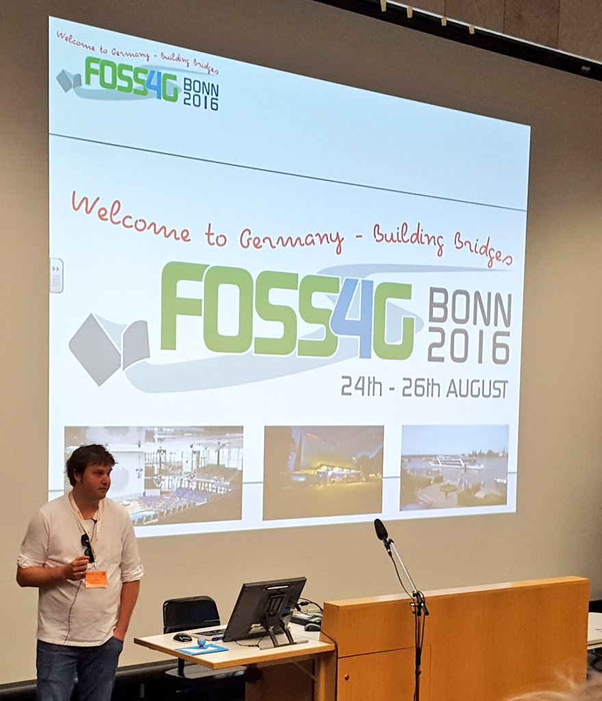
As part of the opening, which was led by Marco Lechner, the chairman of FOSSGIS e.V., and a greeting from Professor Strobl, Till Adams presented this year’s FOSS4G conference in Bonn in his own way: With the words “Sydney, Denver, Cape Town, Barcelona… Bonn – I think that sounds good as a resident of Bonn”, he ennobled his hometown and at the same time included Bonn in the list of cities that have already hosted a FOSS4G.
FOSSGIS was divided into a FOSS and an OSM track, making it somewhat smaller than in previous years. Till Adams, head of the organization team and also chairman of FOSS4G 2016, hopes that this will increase the number of participants for FOSS4G.
For years, we have been pursuing the goal of specifically placing important software and topics for our technology at FOSSGIS. This year, terrestris & mundialis gave a total of five lectures and, partly together with partners, three workshops. These focused on the Open-Layers and GeoExt client libraries and extended functions of the GeoServer server component.
The company mundialis presented itself for the first time with the lecture “Free (Geo) Data with Free (Geo) Software – or: how do geodata get to the user?” at FOSSGIS. The lecture presented the Sentinel-2 processing chain with web client, which is completely based on open source software. An example application can be found at http://maps.mundialis.de.
As always, there was plenty of time for an intensive exchange with customers, partners and acquaintances on the sidelines of the conference.
And even though our focus this year is of course on our “home game”, the FOSS4G, our participation in the FOSSGIS Conference 2016 was worthwhile again this year. We of course hope that terrestris and mundialis have contributed to the personal success of the conference for every participant with their contributions.
Lectures by terrestris and mundialis at FOSSGIS 2016 are available as videos on YouTube:
- “GIS in the Cloud – Fair Weather Cloud, Thunderstorm or Pure Haze?” by Till Adams
https://www.youtube.com/watch?v=JMf_QtkaiLU&list=PLTli5-lbeoibm_kIG8rk-6XIffh6HfM7r&index=9
- “Free (Geo-)Data with Free (Geo-)Software – or: how do geodata get to the user?” by Till Adams and Markus Neteler
https://www.youtube.com/watch?v=942iqvNqPOE&list=PLTli5-lbeoibm_kIG8rk-6XIffh6HfM7r&index=10 - “OpenLayers 3: Status, News and Outlook” by Marc Jansen
https://www.youtube.com/watch?v=bziZVROzhVg&list=PLTli5-lbeoibm_kIG8rk-6XIffh6HfM7r&index=29 - “GeoExt 3 – Universal WebGIS Applications with OpenLayers 3 and ExtJS6”
https://www.youtube.com/watch?v=ydymniDSgVs&list=PLTli5-lbeoibm_kIG8rk-6XIffh6HfM7r&index=39 - “Innovations in GeoServer” by Nils Bühner
https://www.youtube.com/watch?v=6aAZdaWR-54&list=PLTli5-lbeoibm_kIG8rk-6XIffh6HfM7r&index=52
Workshops Marc Jansen together and Andreas Hocevar (Boundless)
- “Introductory workshop in OpenLayers 3” Nils Bühner and Till Adams
- “GeoServer advanced” Christian Mayer (meggsimum) and Marc Jansen “GeoExt 3”