From February 19th to 26th, parts of the IWRM joint project MoMo were on site in Mongolia to hold workshops with local participants under the main topic of “Capacity Development.”
The MoMo project (www.iwrm-momo.de) researches integrated water resources management and is already in its 3rd three-year phase. The focus of this last section is on capacity development, which means that the Mongolian partners should be enabled to continue the concepts, working methods and systems independently in the future.
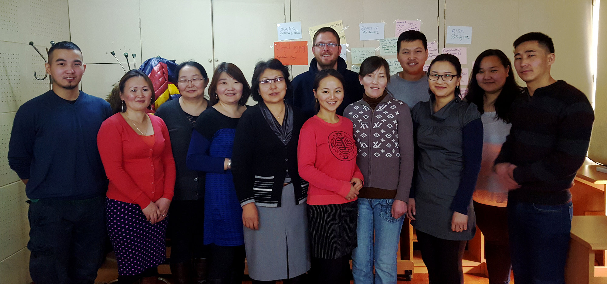
S. Forberig and M. Jansen from terrestris took part in the trip to Mongolia. Two different workshops were held:
– “Introduction to core technologies behind the MoMo geoportal” (M.Jansen)
– “Kick-off workshop – Kharaa/Eroo River Basin Authority and IWRM-MoMo project III: Development of collaboration on River Basin Management Planning” (S. Forberig)
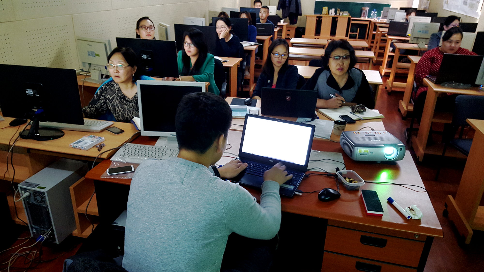
During the five-day course “Introduction to core technologies behind the MoMo geoportal” (http://terrestris.github.io/momo3-ws/en/index.html), the 14 participants went through the following topics:
– Introduction to GeoServer
– GeoServer in depth and special topics
– Introduction to JavaScript
– Introduction to OpenLayers 3
– Introduction to ExtJS 6
– Introduction to GeoExt 3
The participants were primarily provided by the Environmental Information Center (http://eic.mn/) in the Information and Research Institute of Meteorology, Hydrology and Environment (http://www.icc.mn), and the Geographical and Geological Institute of the National University of Mongolia (http://www.num.edu.mn/en/). The aim was to get to know the core components of the already existing (and soon to be completely renewed) geoportal from earlier project phases.
The two-day workshop “Development of collaboration on River Basin Management Planning” took place in Darkhan in the premises of the Kharaa/Eroo River Basin Authority. On the first day, experiences and know-how were presented in four lecture blocks by numerous Mongolian and German actors. The four thematic blocks were entitled:
– River Basin Management in the German/European Context
– River Basin Management Planning in Mongolia
– Kharaa/Eroo River Basin Management Plan and River Basin Administration
– River Basin Management
There were lively discussions after each block of lectures. In the evening, relationships were forged and experiences exchanged in a relaxed atmosphere over a joint dinner. On the second day, the participants split into three working groups:
– Data Transfer
– Monitoring
– Implementation measures
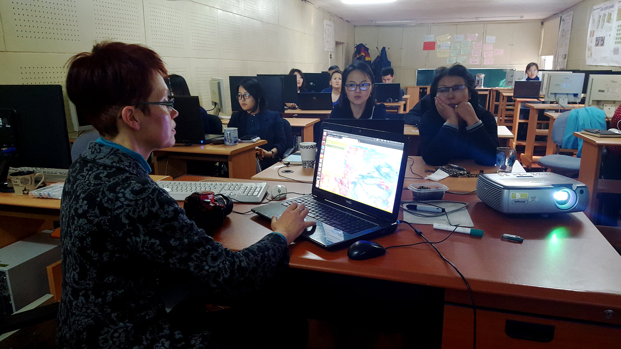
In these groups, the tasks to be solved were discussed intensively. The results were presented to all participants in a final joint meeting after the lunch break. The workshop of the “Data Transfer” working group was largely designed by terrestris. Steffi Forberig first presented the status of the development of the MoMo geoportal. Ms. Bayasgalan from the Institute of Meteorology, Hydrology and Environment presented the portal at www.eic.mn. Subsequently, based on the latest applications from terrestris, there was a discussion on how the existing geoportal can be further developed. The result list of the working group included the implementation of comprehensive search functions and the possibility of visualizing 3D information.
The water atlas presented by PD Dr. Jürgen Hofmann, which was developed as a result of the previous project phases, is also to be included in the geoportal. The members of the working group were particularly interested in the possibility of using aerial image information recorded with drones. Dr. Hofmann presented the possible uses for a sample area.
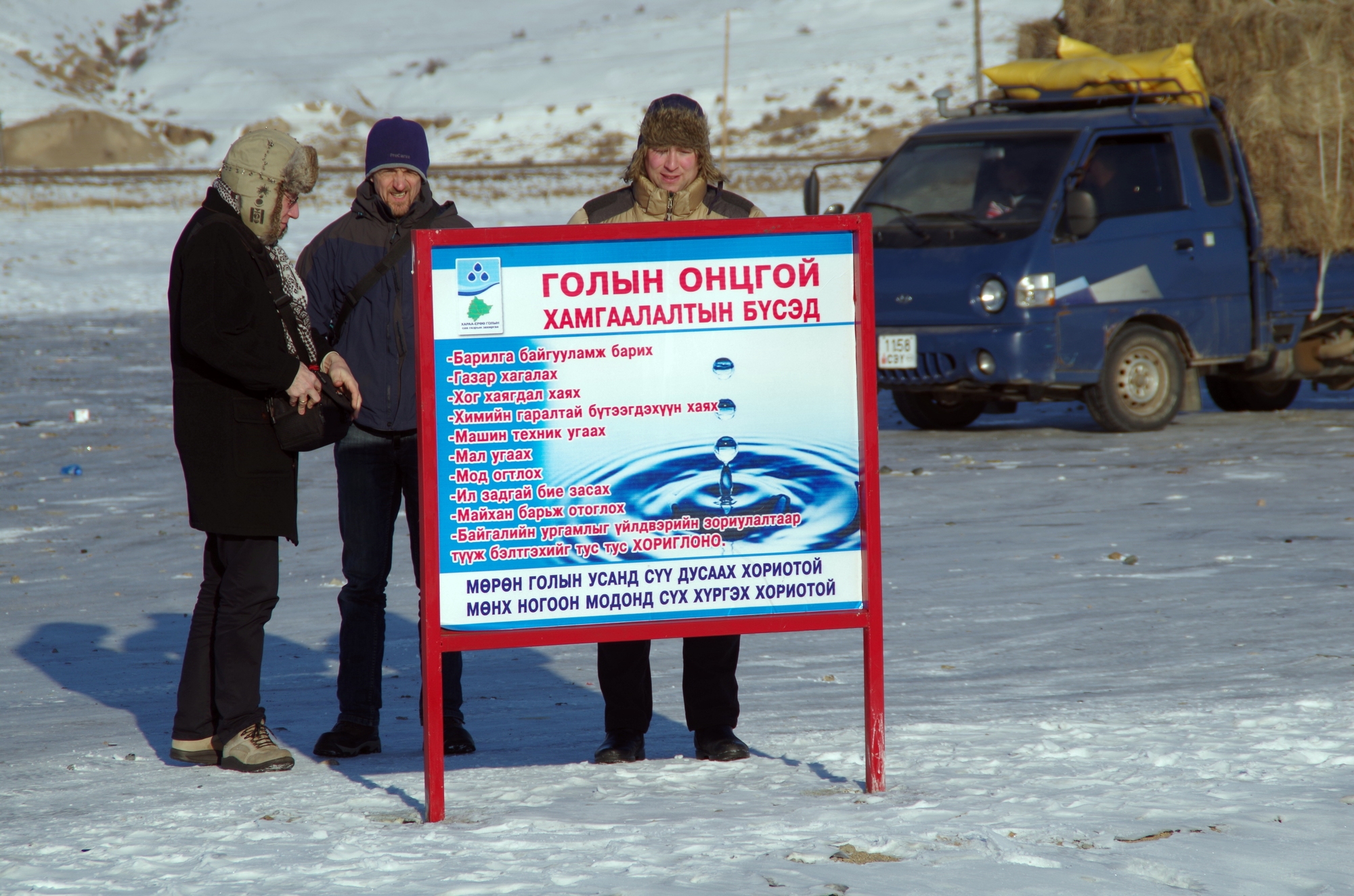
Following the workshop, a field trip took place on the Khaara River. A possible position for a monitoring station was sought.
The on-site workshops can be described as a complete success. They were an important further step in making knowledge, software and data from the MoMo project more accessible and sustainable for the Mongolian partners.
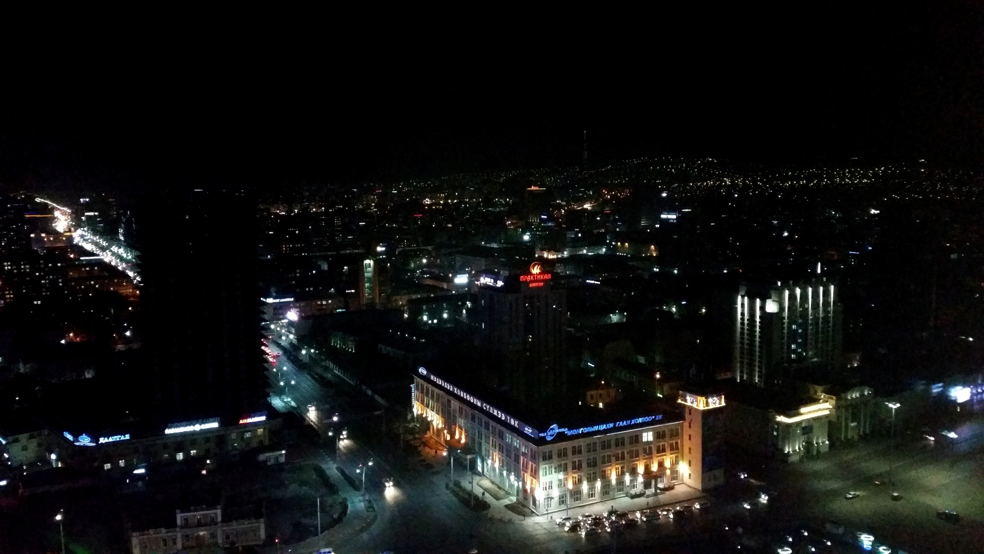
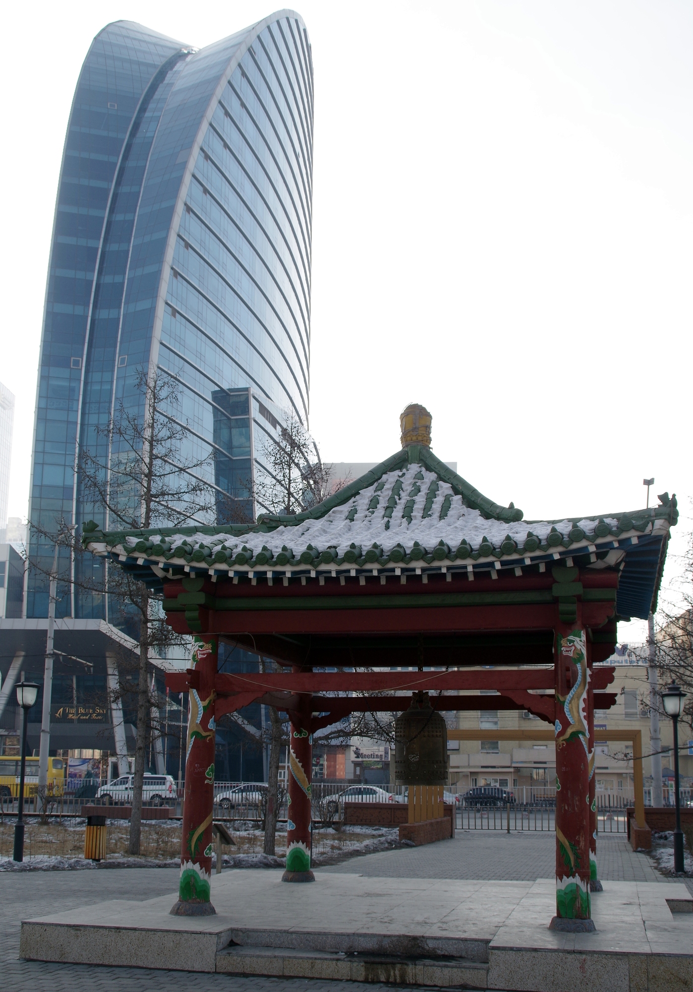
Below are some visual impressions of the trip. We are already looking forward to future on-site appointments.