“We are here and we are not going anywhere.” This sentence by Tim Sutton perfectly expresses that the argument still often made against open source, that open source projects are unstable and the developers will disappear next week, is simply wrong. He referred to 11 years of QGIS development with meanwhile several million lines of code, examples and documentations. Nobody will seriously believe that such a project will disappear overnight and the effort in your own organization is therefore not worthwhile.
The development of several (semi-)open mapping portals, such as mapbox or mangomap, is interesting, even if the possibilities for individualization are very limited here. After all, they allow a few geodata sets to be published easily.
The project “Humanitarian OpenStreetMap Project” (HOT), led by Kate Chapman, which promotes social engagement and development aid by and with OSM activists, should definitely be emphasized. The HOT example shows that the use of free software is particularly useful in developing countries, because knowledge gained can be transferred to other areas after the end of the project. Access to the free software used remains, while this is usually not guaranteed with proprietary software. OpenStreetMap data, which already exists and is completed by HOT teams with people on site as part of assignments, is often the only complete source of geodata.
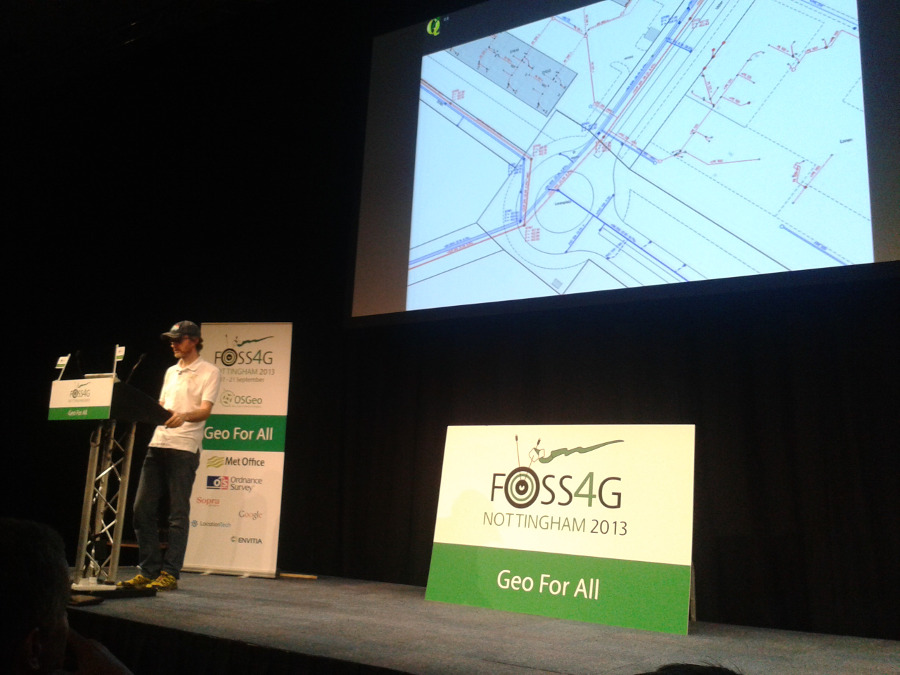
There is also a lot of news to report from the 3D GIS world. After Till Adams’ presentation on the “Projekt Brandenburg 3D“, in which he reported on the visualization of 3D data via PostGIS and GeoServer in an ExtJS-based 3D Viewer, Olivier Courtin’s presentation from Oslandia on the “neuen Dimensionen von PostGIS: 3D“ was particularly interesting. Missing functions, which have forced us to take one or two detours, will be available from PostGIS version 2.1 onwards thanks to the connection of the geometry algorithm library CGAL.
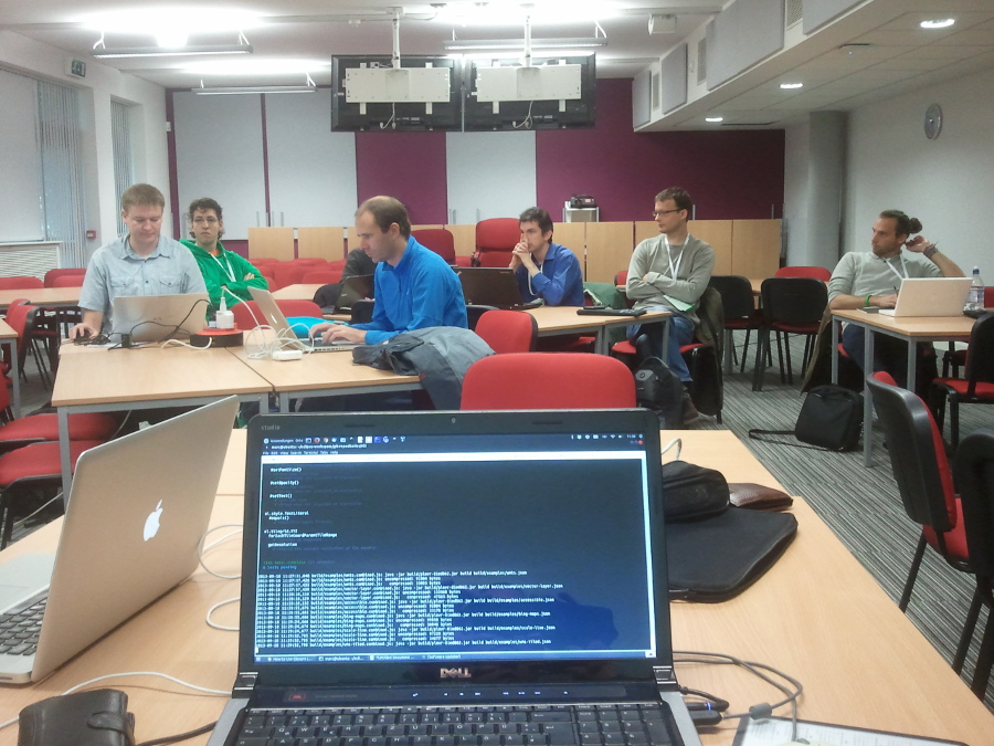
In the afternoon, a BOF (birds of a feather –> informal meeting) on the topic of GeoExt was held. Overall, some momentum is to be expected here. The new release GeoExt2 based on ExtJS 4.2.1 is now scheduled to appear. The GeoExt developers Marc Jansen, Bart van den Eijnden and Julien-Samuel Lacroix, among others, participated in the FOSS4G Codesprint.
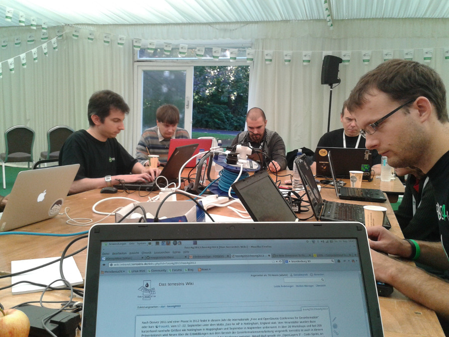
In the evening, the Annual Meeting of the OSGeo Local Chapter took place. From a German perspective, the news that FOSSGIS e.V. will be applying to host FOSS4G 2016 is certainly welcome. In the run-up, the association’s board had already sought unofficial statements from some members of the OSGeo Board.