The GeoStyler project was already introduced in the previous blog post. This blog post presents the innovations in GeoStyler that have been incorporated in recent weeks. The focus here is on the internal technical changes. At the same time, we are publishing a status report focusing on functionality that is less technical.
i18n
GeoStyler now supports multilingualism for user interface elements. Language packs for English and German are already available and can be used. Additional languages can be easily added. To do this, simply save a new language file in src/locale/ and integrate it into the GeoStyler.
Approximation to SLD specification
Further approximations to the SLD specification of GeoStyler style, parsers and GUI have been made.
List of already completed/still open goals
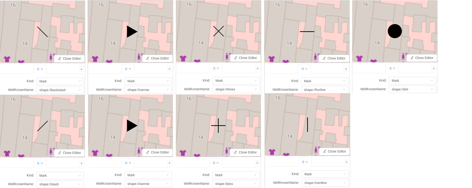
- WellKnownNames can be used
- Extension of the WellKnownNames by GeoServer-specific WellKnownNames (e.g. shape://slash, shape://horline) – Here are some examples:
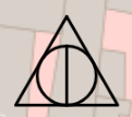
- A Rule can now contain multiple Symbolizers. For example, simple point symbols can be combined to form complex symbols and line styles with different dash patterns can be combined.
Result of the above workflow in the video in detail view:
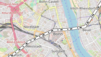
Result of the above workflow in the video in detail view:
- LineSymbolizer supports LineCap, LineJoin, LineDashOffset, PerpendicularOffset*
- LineSymbolizer supports GraphicFill* and GraphicStroke*
- FillSymbolizer supports GraphicFill*
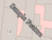
- TextSymbolizer supports Halo and Rotation
Result of the above workflow in the video in detail view:
* not included in OpenLayers API. Therefore not visible in the preview.
Next goals
Nested filters: In the future, it should be possible to nest filters in order to meet the requirements for the generation of complex filters.
WMS Preview: The GeoStyler library is to be extended by a component that makes it possible to preview the style via GetMap Request. This ensures that the preview corresponds 1:1 to the defined SLDs.
New Layout: Another demo is to be created, which presents an alternative layout based on the already existing components in GeoStyler. This layout should be based on the current style editor in QGIS.
Bug fixing: GeoStyler has accumulated some issues that should be fixed in the near future. In addition, components and parsers should become more robust. This includes, among other things, uniform handling and propagation of errors, as well as increasing code coverage.
Further support
All interested parties are cordially invited to participate in the project. Any kind of contribution is welcome:
- Testing the application
- Error reports and feature requests
- Extension of the documentation
- Code contributions / implementations
Source code on github: https://github.com/terrestris/geostyler
Online documentation: https://terrestris.github.io/geostyler/styleguide/