The year 2020 also presented us at terrestris with a number of challenges, as our year began with several major new projects starting right at the beginning of the year. This meant that the terrestris team was in demand from January onwards, as our existing customers also had to be served as usual in addition to the new projects. In retrospect, we succeeded well in this, and consequently, we also want to help our existing and new customers with their specific questions and tasks in 2021.
The emergence of the Corona pandemic and the associated first lockdown in March and April, on the other hand, presented us with relatively manageable challenges at the time of entry, in contrast to what was probably the case for many other companies. Our management had closely monitored the development of the pandemic at an early stage and made corresponding preparations, so that we felt very well prepared when the lockdown began. All colleagues – with the exception of an absolute emergency crew – were able to continue working directly in their home offices without any downtime or transition. Our daily morning meeting of all those present and all other meetings were quickly held digitally and appropriate hygiene and distance rules were put in place in the offices. All necessary changes quickly became normal for all of us.
Overall, at the end of the year, we can say that we have achieved a lot in 2020.
With the projects we have worked on this year, the technology stack that we can serve has been massively expanded. In addition to the further development and constant improvement of our Open Source WebGIS Framework SHOGun, our developers have also worked on the basic software of the Masterportal and on the geoportal framework “Mr. Map” initiated by the state surveying offices of Rhineland-Palatinate, Saarland and Hesse.
We have also made decisive progress in the area often referred to as “DevOps”. In close cooperation between our developers and our system administrators, we can – depending on the requirements and framework conditions of the specific project – install fully or semi-automatically tested code changes on various target systems at the touch of a button. For example, it is possible without any problems and without manual steps to deploy changes to test systems, test them there and then roll out the respective code status in a production environment. This in turn without the need for intervention by a developer. The frequently changing statuses of a project are thus continuously available, and sources of error are largely limited.
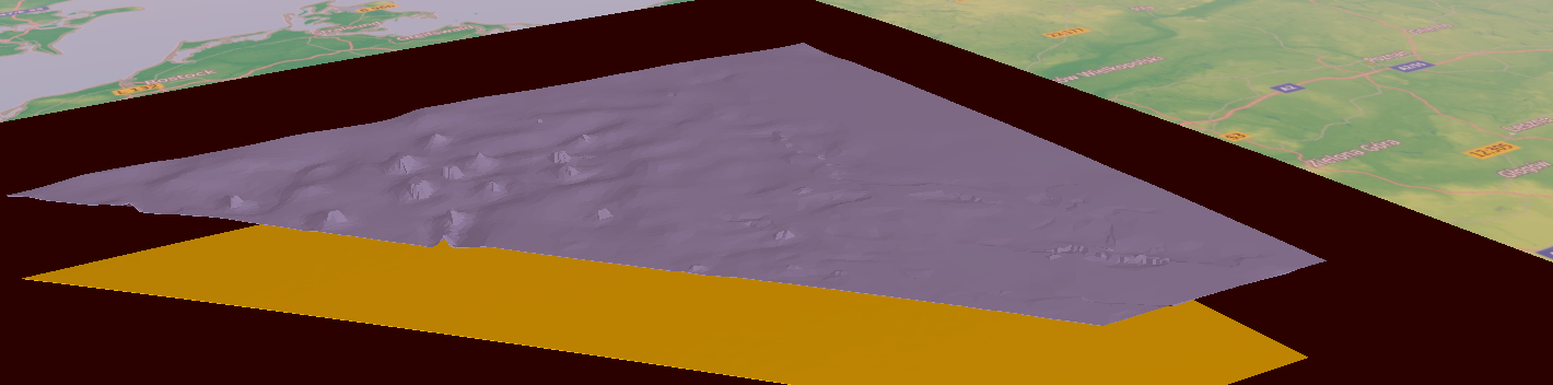
As part of a project dealing with the 3D representation of subsurface data, our Cesium-based 3D client was also massively further developed. Here, the possibility of uploading your own data and the use of 3D Tilesets should be particularly emphasized.
In the spring, our Premium OpenStreetMap map service was finally launched, for which we were able to win several customers in the course of the year. At the same time, the hardware that had hosted our Free OSM WMS service for 8 years was retired. This service is also still available after a smooth migration to new hardware.
Our partner company omniscale has transferred the existing MapProxy business to terrestris in the course of the year. This has enabled us not only to win numerous new support customers, but also to massively expand our overall range of services relating to the development and acceleration of OGC services. If you would like support or advice in this area in 2021, please do not hesitate to contact us.
In our joint project of the companies mundialis and terrestris Hermosa, we were finally able to connect SHOGun as a web application to actinia, a cloud-optimized geoprocessing engine. Users can now easily start evaluations of remote sensing data in relation to questions on the reforestation of degraded areas via a web front-end and view the results in WebGIS and use this data for further planning.
All training courses and workshops that were held during the year were held remotely, which was certainly a new experience for many. The conclusion here is that this form of training can be an excellent alternative to face-to-face training. A big surprise for us was the first digitally held FOSS4G-UK, which as an online event had 1,000 registrations right from the start. We were also represented here with lectures. The FOSSGIS in Freiburg, to which we regularly contribute, could still be held as a classic face-to-face event. For 2021, however, the signs here are also pointing towards being held as a hybrid conference. While the new FOSSGIS-Update format will take place as a purely online conference, the planned FOSSGIS will welcome participants on site in Rapperswill and also via live broadcast. Terrestris will be involved in both, and very inexpensive tickets can still be purchased for the FOSSGIS-Update on January 28.
All these projects, events and the associated activities have also contributed to the strengthening of our team in the course of the year. Our administration team was strengthened by another administrator, and our development team was pleased to welcome three experienced developers.
In addition to our usual project approach using the Kanban method, new agile methods were also evaluated in this area. In some projects, the Scrum method was and is used, and some agile workshops were also held jointly with our clients using the Design-Thinking method. The introduction of OKR (Objectives & KeyResults) as a framework for even better achievement of goals is currently being prepared internally and examined on an exemplary basis on a selected aspect.
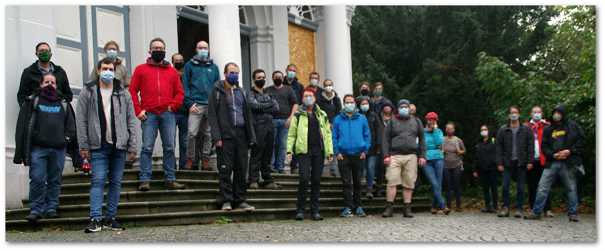
Nevertheless, we had to pay tribute to the framework conditions that were due to the pandemic: We unfortunately had to cancel our annual summer party “Bratwurst, Bier & GIS”. Of course, we are hoping for a new edition in early summer 2021. And our major retreat, which takes place every two years and was supposed to take us to the southern Peloponnese this time, also had to be postponed to 2021 due to the situation. Instead, a very successful retreat week was held in our premises – of course in compliance with all necessary hygiene and distance rules. During the retreat, we discussed overarching topics extensively in various compositions (that simply has to be the case) and were also able to work on some more tangible technical aspects:
- MapProxy architecture and housekeeping (administering issues and pull requests)
- First steps towards a generic SHOGun administration backend with a graphical user interface: https://github.com/terrestris/shogun-admin This should then be compatible with the latest SHOGun versions and customer applications based on it in the future
- actinia refactoring and proof-of-concept for automated React-GUIs for individual Actinia interfaces
- SHOGun basic installation optimizations and improvement of the documentation
- We have started to develop an official Docker Image (according to the specification of https://github.com/geoserver/geoserver/wiki/GSIP-192) for GeoServer: https://github.com/geoserver/docker/pull/1
- A new GeoStyler homepage was created with Hugo
- shogun-boot (https://github.com/terrestris/shogun): Optimization of permission validation (database-side) and interfaces for paginated queries for all repositories (e.g. users, applications, layers)
Overall, we can look back on a successful year 2020; it is with some melancholy that we note that this year we were unable to toast together as we have done in all the years before. But we will certainly make up for that as soon as the situation allows. Perhaps with you at the next Bratwurst, Bier und GIS event in 2021? In any case, we are planning to make our expertise in the field of WebGIS with free software – and everything else that goes with it – available to our customers in 2021.