The OpenStreetMap WMS Premium version offers unrestricted zoom functionalities up to a scale of 1:1,000. Unlike the freely available version, there are no restrictions due to watermarks that appear from a scale of approx. 1:25,000.
Free zoom, best performance and regularly updated data – the perfect choice for professional applications
The premium version is characterized by improved performance and greater stability, as the server capacities are optimized and the number of users is limited. In addition, the map content is updated every two weeks, so that the latest data can always be accessed.
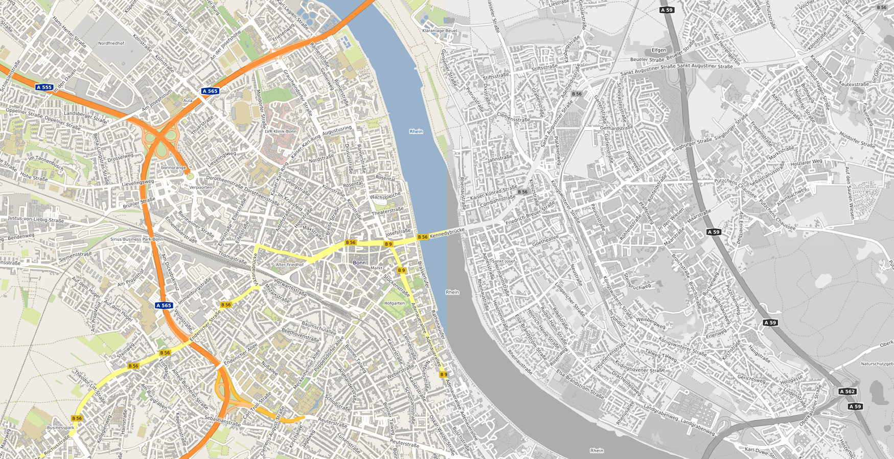
With our OSM WMS service, you have access to current geodata at any time – worldwide, quickly and reliably. The service combines free data sources such as OpenStreetMap, Natural Earth and GEBCO in a clean map design, available in color and grayscale.
In addition to the classic topographic map display, access also includes additional layers – including a label-free topographic map and a digital terrain model based on SRTM30.
The high-performance map service in a clear design for the most important coordinate reference systems
A versatile solution for using geodata – with worldwide coverage, regular data updates and excellent performance, the service is ideally suited as a background service for almost any geo application. It supports numerous OGC standards as well as common coordinate reference systems, thus ensuring a high degree of compatibility. Thanks to scale-dependent display, the appropriate details are visible depending on the zoom level – from overview maps to buildings and house numbers. The service is provided via a GeoServer and accelerated with the help of MapProxy. And thanks to regular updates and powerful servers, the service runs reliably and can be seamlessly integrated into GIS systems.
Overview
Easy integration through interfaces
Access to the service via OGC-compliant WMS interface.
Worldwide coverage
Maps down to building and house number level.
Up-to-dateness
OpenStreetMap data is updated every two weeks and the services are re-cached.
Availability
Guaranteed 99% availability outside of maintenance windows, which corresponds to approximately 360 days per year.
Caching
Pre-cached server-side in all OpenStreetMap zoom levels and additionally in the scales 1:1,000,000, 1:500,000, 1:250,000, 1:100,000, 1:50,000 and 1:25,000. Afterwards dynamic on-demand caching for continuous access and excellent performance.
Test access
A two-week free test access can be set up upon request.
Scalability
Tile sizes up to 2048 × 2048 pixels. Recommendation call in 256×256 pixel tiles.
Server location
All servers used are located within the European Union (Germany and Finland).
Personalized access
Secure access to the interfaces via API key or BasicAuth. The personalized access can be used by several users in parallel.
Limitation
Unlimited map retrieval without quantity restrictions.
HTTPS encryption
Secure provision of services via HTTPS.
Data sources and design
Use of free data sources such as OpenStreetMap, Natural Earth and GEBCO Bathymetric Compilation Group, supplemented by harmonious, own cartographic styles in color and grayscale.
Sustainability
100% green electricity for servers and company location.
Map formats
Map requests can be made in PNG and JPG format.
Coordinate systems
Support of common coordinate systems such as:
- EPSG 4326 (WGS84)
- EPSG 25832 (ETRS89 / UTM zone 32N)
- EPSG 25833 (ETRS89 / UTM zone 33N)
- EPSG 31466 (DHDN / Gauss-Krüger Zone 2)
- EPSG 31467 (DHDN / Gauss-Krüger Zone 3)
- EPSG 31468 (DHDN / Gauss-Krüger Zone 4)
- EPSG 3857 (alternative code for EPSG 900913)
- EPSG 900913 (Google Mercator projection)
Others can be set up on request.
Performance-optimized header
Map tiles delivered by the services signal to clients via HTTP headers that the tiles may be cached client-side. This improves performance because requests do not have to be made again.
Attribution
When using the services, the following copyright notice must be provided:
“© OpenStreetMap contributors, © Natural Earth Data, © GEBCO Bathymetric Compilation Group 2019, © terrestris”.
Demo*
*free standard version