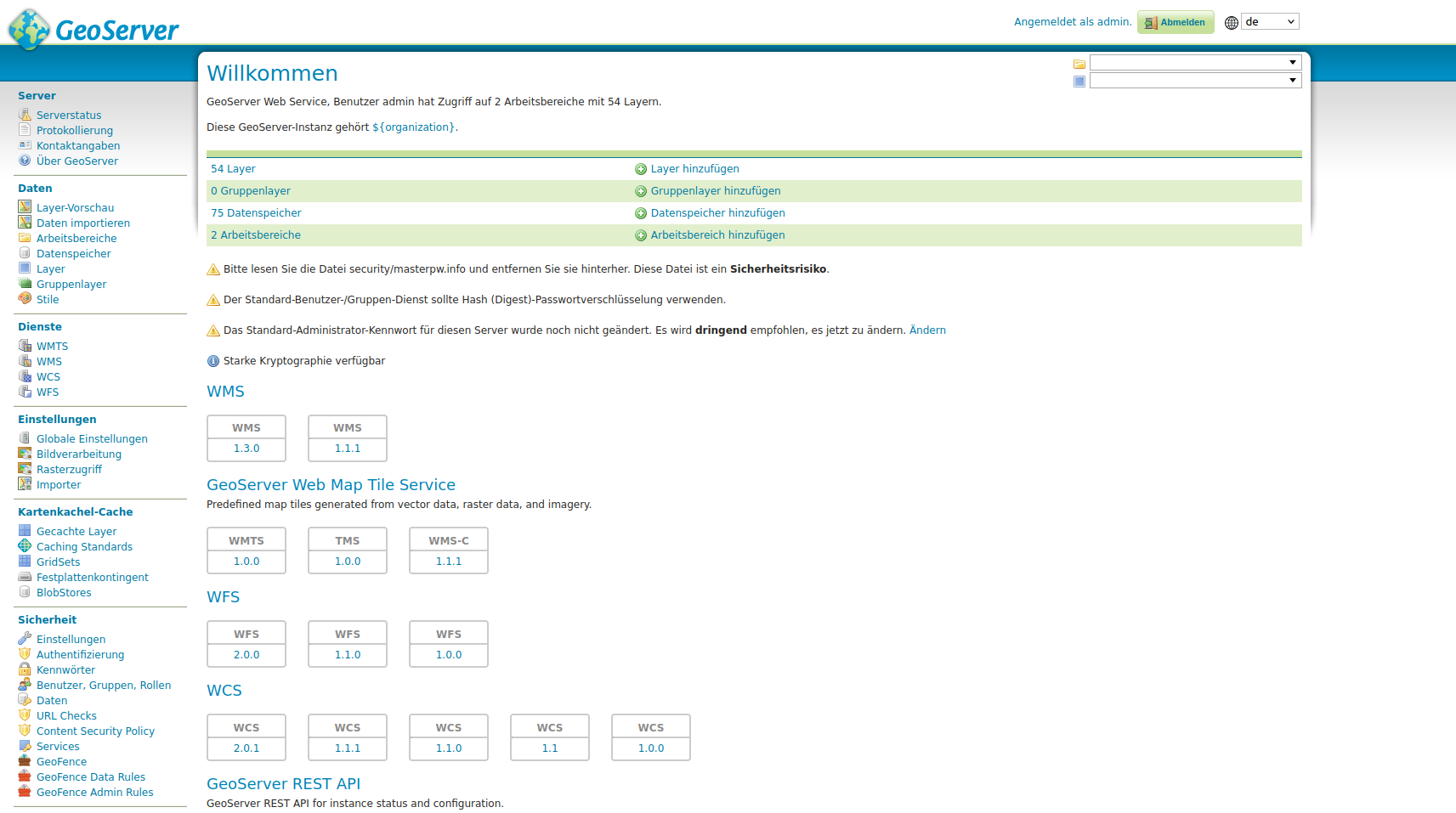
GeoServer is a widely used and user-friendly open source map server that supports the essential OGC standards, such as WMS, WMTS, WFS, WCS, and the OGC API. It enables the publication of geodata and map services from various map sources, including common databases, GeoPackage, or the (Cloud Optimized) GeoTIFF format. This provides a simple way to visualize and share geodata via the web.
GeoServer is a central component of modern geodata infrastructures
We use GeoServer in almost all of our projects because it is a powerful tool and integrates excellently with other technologies.
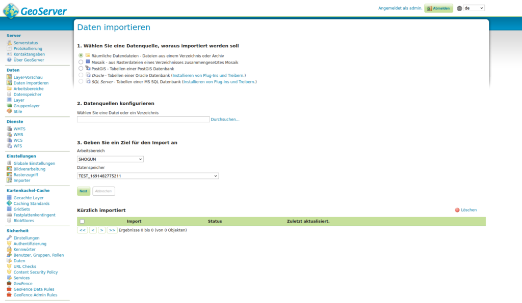
GeoServer is ideally suited for the provision of large amounts of data – whether vector or raster data – and is versatile due to its comprehensive support of input data. The configuration management is done through a clear user interface. Using Styled Layer Descriptors (SLD) or a connection to the GeoStylers, maps can be individually designed and thematically adapted.
Our services:
- Setup and configuration of GeoServer
- Optimization of performance and scalability
- Integration into existing environments
- Consulting
- Training courses – standard or customized
- Support and maintenance
Advantages of GeoServer:
- Open Source – freely available, without license costs
- Support for numerous standards
- Diverse data sources and formats
- Powerful and stable
- Intuitive and user-friendly interface
In combination with other specialized software components, we create customized solutions – from data acquisition and processing to user-friendly visualization. Thanks to the high flexibility and expandability of GeoServer, we can precisely implement individual requirements and operate them sustainably.
For the most trouble-free visualization of the tile graphics of a WMS service, GeoServer uses the Tile Cache GeoWebCache (GWC). The services created with this tool meet the TMS, WMS and WMTS standards.
Other:
- terrestris actively participates in the community and supports further development
- All GeoServer versions since 2.5 (March 2014) are available as containers on Docker-Hub. In addition, future GeoServer releases will also be automatically published there.
- More information is available on GitHub
GeoServer offers stability, expandability and a wide range of applications. Thanks to our many years of experience in the practical use of GeoServer, we can provide support to ensure that GeoServer is optimally tailored to your requirements and runs reliably in operation.
Contact us for a personal consultation – we will help you to provide your geodata efficiently, securely and sustainably with GeoServer.