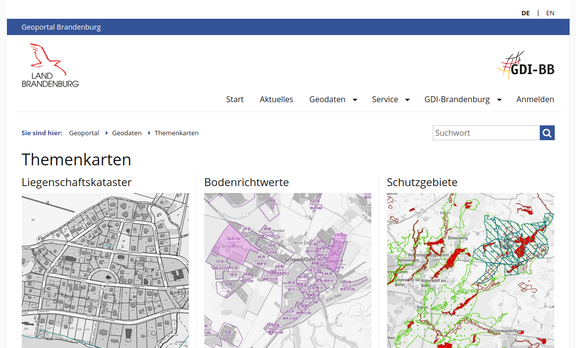
On March 1, 2021, the new geoportal of the State of Brandenburg was launched live. The Geoportal Brandenburg is the central point of contact for the Brandenburg Geodata Infrastructure (GDI BB). Thousands of data records from more than 100 providers can be found and used here. In order to continue to meet this importance in the future, the geoportal has been extensively modernized.
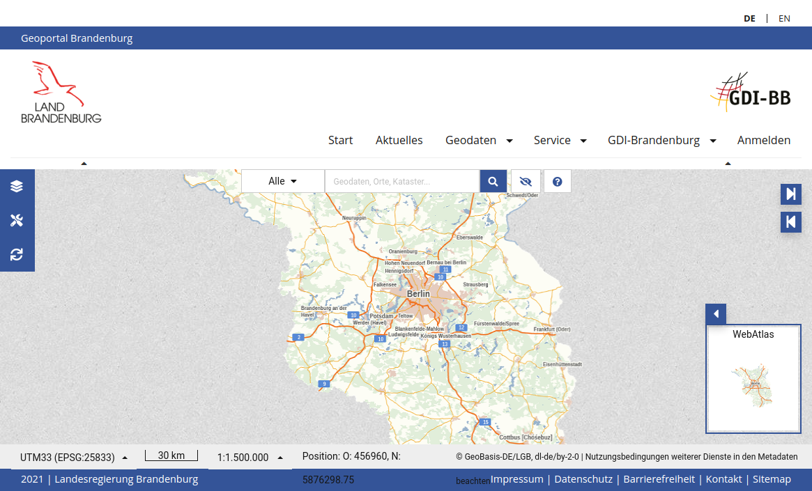
The integrated map viewer is based on the newly developed map viewer API, which allows purely configurative generation in individually designed web-based map viewers. The map viewer API is a joint development by terrestris and meggsimum for the LGB (State Surveying and Geobasisinformation Brandenburg) and is based on the open source project Masterportal. This allows web map viewers for a wide variety of purposes with a wide variety of layouts and functionalities to be easily created and set up with the data of the GDI-BB.
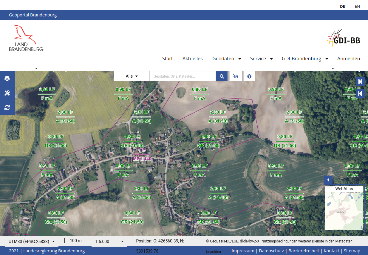
In the course of the project, the individual design options of the Masterportal software were significantly expanded, thus enabling both the configuration of the general appearance (theme) and the adaptation of details. In addition to these comprehensive design developments, the functionality of the portal has been significantly expanded. These include generic tools for data import and export, coordinate transformation, projection and background map switchers, and extensions to the drawing tool.
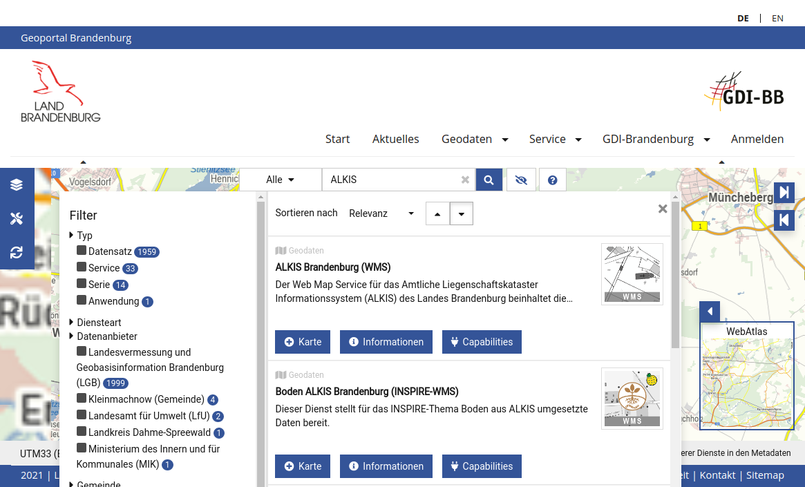
Another integral component of the map viewer API is the connection of the new generic and powerful search interface (“Search API”), in whose architecture design terrestris and meggsimum were also involved in direct cooperation with the LGB. The interface has various filter functions, pagination and automatic search text suggestions. An Elastic-Search interface serves as the search backend.
By means of an add-on for the map viewer, the search interface can be conveniently queried by the user via an intuitive user interface and the corresponding results can be searched and visualized. Features such as the preview of search results, extensive detail views and the direct import of services and data into the portal were implemented.
Through the development of extensive JavaScript interfaces for the map viewer, individual map viewer instances can also be changed at runtime. These interfaces are implemented as a so-called “Top-Level-API” and are used several times in the new Geoportal Brandenburg. As a result, the map viewer can be adapted by the embedded main system (a CMS) as needed. For example, preconfigured thematic maps can be easily loaded into the map viewer or individual UI elements can be added or removed depending on the user’s authorization.